Flood Management
Reclamation District 563 built a muscle wall on the levee for overtop protection along Tyler Island near Walnut Grove. ©DWR/2017
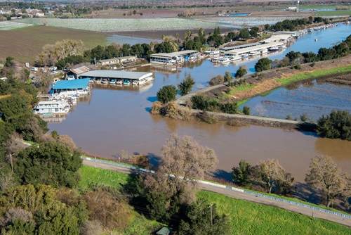
California’s geography and weather are the most diverse in the nation, resulting in a variety of natural hazards including flooding. California experiences every type of flooding, though the most common are alluvial fan, riverine, and coastal.
We are committed to sustainable flood management. To use limited resources more effectively, we align our flood management efforts and leverage funding with other regional efforts, such as water supply, environmental enhancements, and transportation projects. When planning and executing our projects, we consider a broad range of potential benefits to improve their value to Californians and their communities.
These include:
- Plan for and improve the flood management system
- Maintain levees
- Provide emergency preparedness and response
- Forecast river levels based on weather conditions
- Reduce flood risk
- Enhance public safety
- Enhance fisheries and wildlife habitat
- Improve recreation and open spaces
- Promote wise use of floodplains
- Improve water quality and supply reliability
- Produce water supply forecasts that are used to set statewide standards and determine water allocations affecting most Californians
- Provide grant-funded programs that benefit 27 million Californians directly or indirectly
Data And Transparency
- The California Data Exchange Center (CDEC) installs, maintains, and operates an extensive hydrologic data collection network, including automatic snow reporting gages for the Cooperative Snow Surveys Program and precipitation and river stage sensors for flood forecasting.
- We developed the Flood Emergency Response Information Exchange (FERIX) to improve flood emergency preparedness, response, and recovery in California. It provides participating agencies an online system to access and exchange current flood information in real-time through Web GIS interface. It integrates georeferenced databases, a real-time data collection and exchange system, and a decision support system supporting our other programs, various hydrologic and hydraulic computer models and tools, and applicable flood-related documents.
Grants
- Central Valley Tributaries Program
- Coastal Watershed Flood Risk Reduction Grant Program
- Delta Levees Maintenance Subventions Program
- Delta Levees Special Flood Control Projects
- Flood Control Subventions Program
- Flood Corridor Program
- Flood Emergency Response Program
- Floodplain Management, Protection and Risk Awareness (FMPRA) Grant Program
- Local Levee Assistance Program
- Small Community Flood Risk Reduction Program
- Systemwide Flood Risk Reduction Program
- Urban Flood Risk Reduction
Maps
- Best Available Maps (BAM) represent the 100- and 200-year composite floodplains located within the Sacramento-San Joaquin Valley watershed. These maps were developed based on the best available information as required by Senate Bill 5.
- Central Valley Floodplain Evaluation and Delineation Program maps represent 100- and 200-year floodplains for urban and urbanizing areas within the Sacramento-San Joaquin Valley watershed. These maps are required by Senate Bill 5.
- Levee Flood Protection Zone (LFPZ) maps represent floodplain areas protected by Central Valley State-Federal Project levees. These maps were developed based on the best available information as required by Assembly Bill 156.
Resources
Contact Us
Flood Operations Center
Report flood incidents to (916) 574-2619 or call (800) 952-5530 to listen to river forecasts, general water conditions, and flood information.