Flood Risk Notification
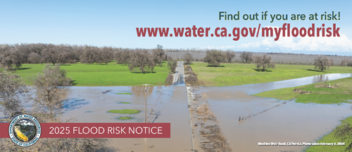
We mail out flood risk notifications every September to inform property owners of their flood risks.
Millions of Californians are at risk from flooding along thousands of miles of streams, rivers, lakes and coastline. Floods can bring devastating impacts to regions and no one can predict when and where floods will occur. But hydrologic engineers and other experts can estimate the likelihood of annual flood flows and stages that could occur in any particular location with collected data. Flood information can be used to estimate average annual damage. If you live, work, or own property in a flood-prone area, you can use this information to:
- Stay informed about the flood risk to you and your property.
- Weigh cost-effective options to reduce flood risk.
- Measure the viability of flood insurance.
The Flood Risk Notification Program communicates flood risk awareness to the public and individual property owners, as well as local, state, and federal agencies. We encourage people to:
- Understand levee systems
- Stay aware of flood risks
- Take appropriate actions to protect themselves, property and personal possessions
- Facilitate flood recovery
To achieve this goal, we:
- Send out an annual notice to at-risk property owners in the 17 counties in the Levee Flood Protection Zone
- Maintain accurate Levee Flood Protection Zone (LFPZ) maps and an associated parcel information database
- Provide people with useful ways to assess risk and reduce flood loss
- Establish outreach and educational projects with public involvement
- Collaborate with federal agencies, local agencies, and communities
The Central Valley is home to more than 1,600 miles of State-Federal levees. In many areas protected by this levee system, the risk of flooding is greater than the risk of fire.
Consider these facts:
- Since 1950, flood disasters have been declared in every California county at least ten times, with some counties having as many as 29 state and federal disaster declarations.
- Since 1983, Central Valley State-Federal project levees have been breached and overtopped more than 70 times.
- Just 1foot of flood water can cause more than $54,000 in damages to a $150,000 single-family home. Three feet of flood water can cause more than $93,000 in damages.
- Local, state and federal agencies continue to improve the state-federal project levee system, but there will always be some flood risk.
Learn more about flood risk and efforts to reduce it in California's Central Valley.
Contacts
- American River Flood Control District
- Reclamation District 1000 (Natomas)
- Sacramento Area Flood Control Agency
- Sacramento Stormwater Quality Partnership
- San Joaquin Area Flood Control Agency (SJAFCA)
- Sutter Butte Flood Control Agency (SBFCA)
- Three Rivers Levee Improvement Authority (TRLIA)
- Yolo County Flood Control and Water Conservation District
Resources
- Flood Risk Notice
-
Best Available Maps
DWR developed this interactive map to show the 100-, 200-, and 500-year floodplains in California. Users can view a particular area, identify their potential flood hazards, and print a floodplain map.
-
Cal OES: My Hazards
MyHazards is a tool for the general public to discover hazards in their area--such as earthquake, flood, fire, and tsunami--and learn how to reduce personal risk.
-
FEMA Flood Map Service Center
The FEMA Flood Map Service Center is the official public source for flood hazard information produced in support of the National Flood Insurance Program.
- Flood Preparedness Information at Ready.Gov
-
Insurance Institute for Business & Home Safety: Flood
Learn methods to reduce risk of flooding for businesses and homes.
- Levee Flood Protection Zone Maps for Local Flood Risk
- National Flood Insurance Program
-
Protect Your Property from Flooding
FEMA website with information about protecting your property from flooding.
Contact Information
1-877-769-7475
View Your Levee Flood Protection Zone Map
Dam Inundation Maps
An inundation map shows flooding that could result from a hypothetical failure of a dam or its critical appurtenant structure. In 2017, the California Legislature passed a law requiring all state jurisdictional dams, except low hazard dams, to develop inundation maps and emergency action plans.
View approved inundation maps.
Please note that inundation maps for dams owned by the federal government are not available on this website.